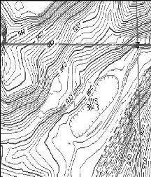
 Wikipedia.com defines a topographic survey as "a survey that measures the elevation of points on a
particular piece of land and presents them as contours on a plot."
Wikipedia.com defines a topographic survey as "a survey that measures the elevation of points on a
particular piece of land and presents them as contours on a plot." At Jerry Thomas Land Survey we define a topographic survey as "a way to help and protect our industrial construction clients by not only providing an accurate contour map of their building site but also by actively searching for any errors, obstructions of other problems that - if undetected - could cost our clients tens of thousands of dollars in lost productivity or liability" Experience is the key to successful construction topography projects. On that issue, Jerry Thomas Land Surveying is unrivaled. Rich Oldham is our resident expert on topography jobs. Rich is a 3rd generation surveyor with over 25 years experience. |